The Long Book of the Andes Mountains (leporello book)
Edited & Created by Alejandra Egaña
Illustrated by Sebastián Ilabaca
Published by Editorial Hueders

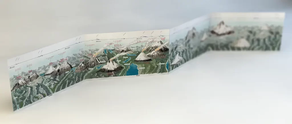
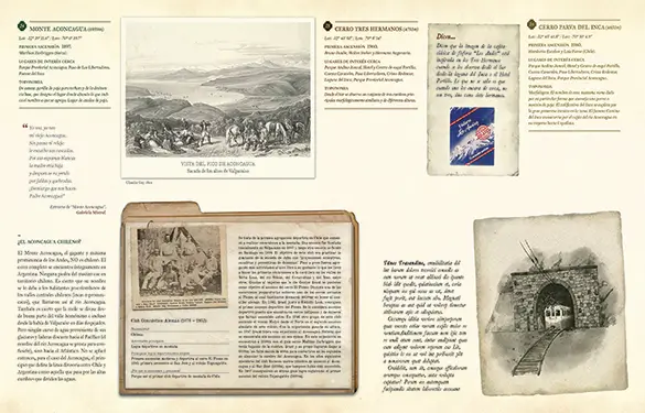
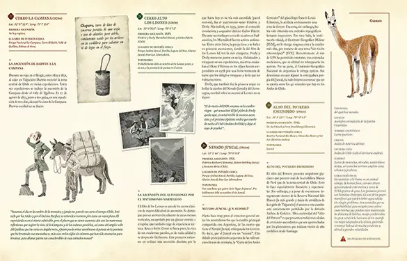
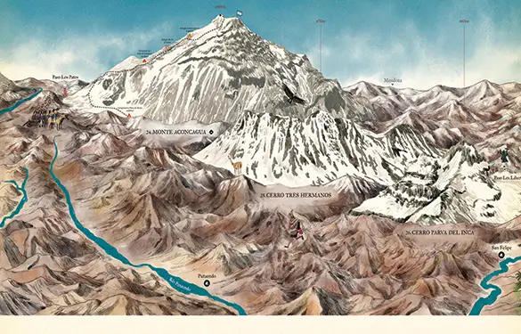
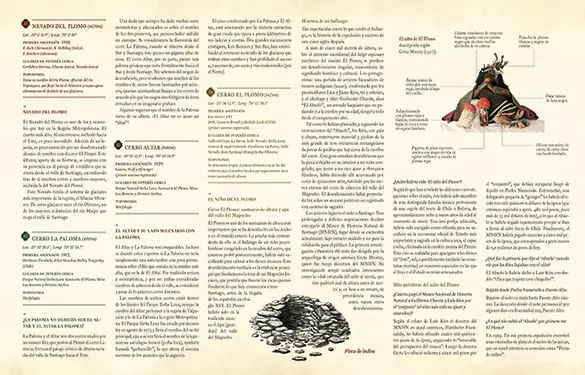
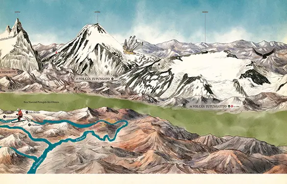
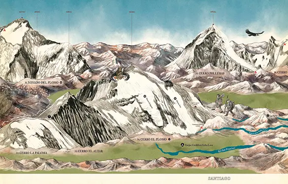
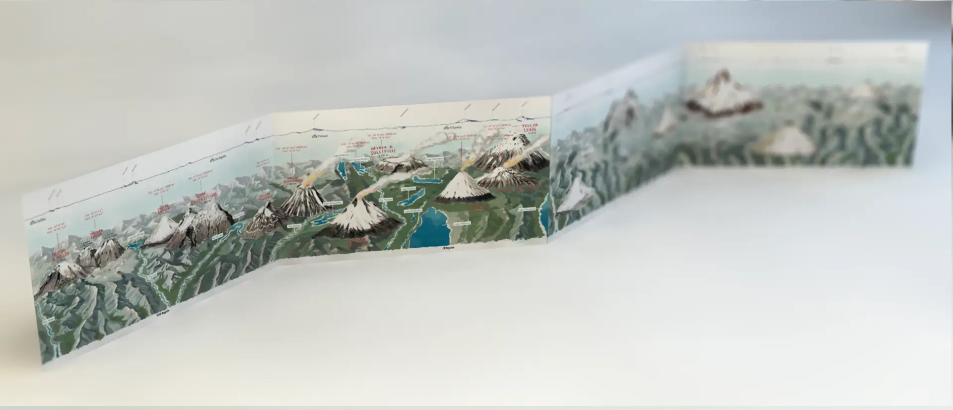
A Leporello (folded book) that provides a continuous image of the Andes Mountain range and all the essential information about it.
The Long Book of the Andes Mountains (leporello book)
Edited & Created by Alejandra Egaña
Illustrated by Sebastián Ilabaca
Published by Editorial Hueders


